We walked Baggy Point on a grey, slightly windswept day in October. It was probably not most people’s choice, but the month had been mild and we were at a point in Autumn where we wanted to blow the cobwebs away before Winter set in and our walking locations switched to more sheltered routes! When I looked up routes online it wasn’t obvious that walking Baggy Point with kids was the best stretch of S.W. coastal path to do as a family and which route to take.

We set off in the hope that when we park up at the National Trust carpark it would be clear once we got there but we didn’t find this to be the case.
Baggy Point Carpark
Both routes start at the National Trust carpark:
Baggy Point National Trust Car Park, Moor Lane, Croyde, North Devon, EX33 1PA.
what 3 words
///universal.plodded.overtime
OS map: Landranger 180; Explorer 139 Start point: Baggy Point car park, grid ref: SS432397
Parking is free for members and prices range from £4-£7 depending on the season. There is also a grassed overflow carpark for busier periods. We chose to picnic in the grassy area to avoid carrying all our food. There is also a grassy hill for the kids to run up and down!
Toilet and accessible toilet facilities are available in the carpark.
We took our own Autumn picnic however you will find a kiosk, tearoom and surf bar all located here – Do check online for opening times especially out of season.
Is walking Baggy Point with kids Suitable?
We started out with intentions of taking the smallest route for our reluctant walker but actually, we did extend our walk quite a bit further. I will give options for both routes.
As expected with a SW coastal path route you are close to the cliff edge for part of the route. You know your own child and what is suitable for them. If they are anxious about heights or maybe you feel that they would be safe then this walk might not be suitable. If you feel more confident that your child will be safe, confident and able to walk the distance then read on to find out all the information on the routes for walking Baggy point with kids.
That said the path isn’t treacherous, you do have space to pass other walkers. If anything I was more worried about the dog having freedom so I recommend a lead walk when walking the first stretch up to Baggy Point. in terms of walking with a buggy or wheelchair the shorter route is accessible but I feel it would get harder once past the wildlife pond. the longer route would definitely not be suitable for younger children unless they are being carried in a baby/toddler carrier.
Baggy Point 2 Mile Walk
A bit of history – Baggy Point was given to the National Trust by the Hyde family in 1939. There are still plenty of signs of the past lives of the Hydes.

- Go out of the car park by the kiosk, and turn right up the asphalted lane, signed Baggy Point 1 mile. The surf bar will be on your right as you walk past some residential houses towards the footpath.
- Pass through gate posts to the fingerpost at the fork in the path and turn left. At this point is the only dog waste bin in the area. Follow the asphalted track past the houses.
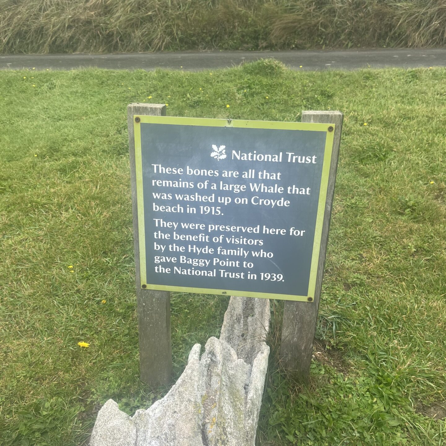
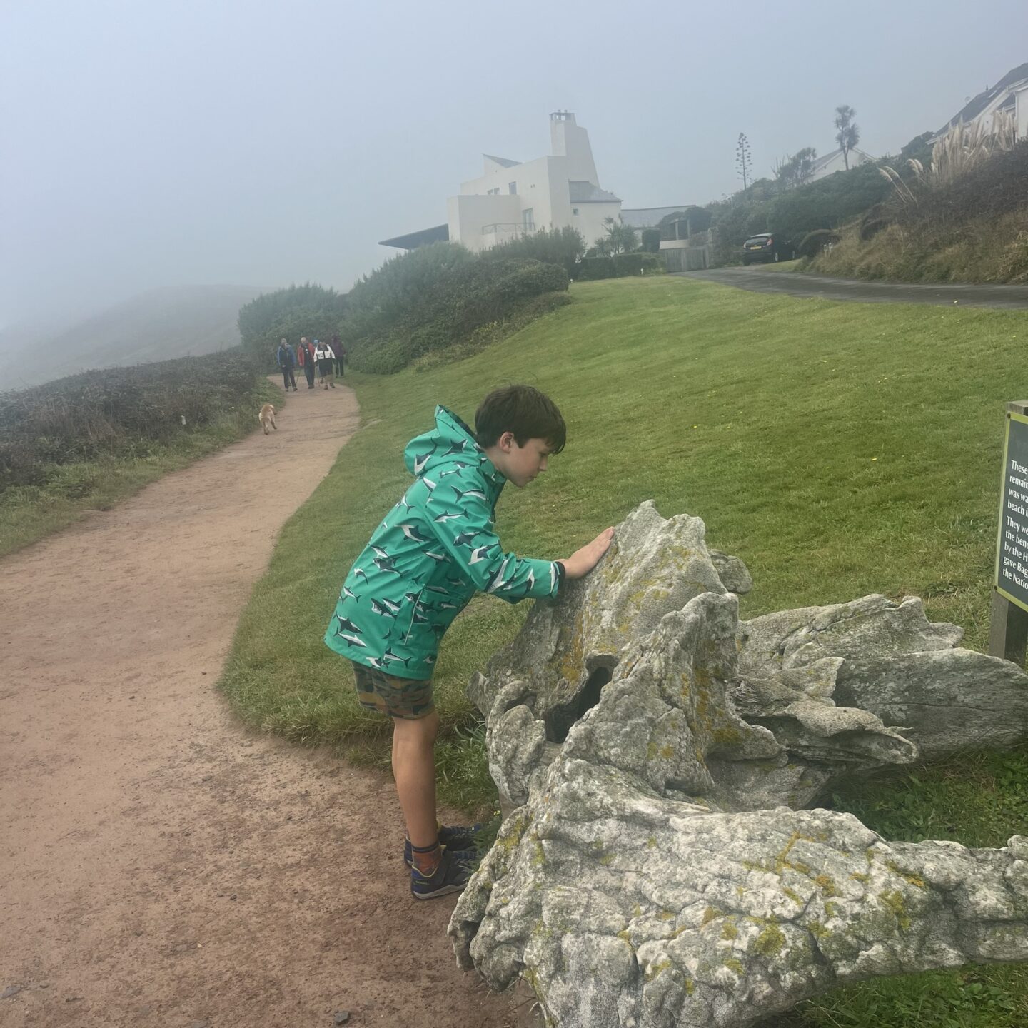
- Follow the track, keeping to your left. On this wide footpath, you will pass by the fossilised whalebone.
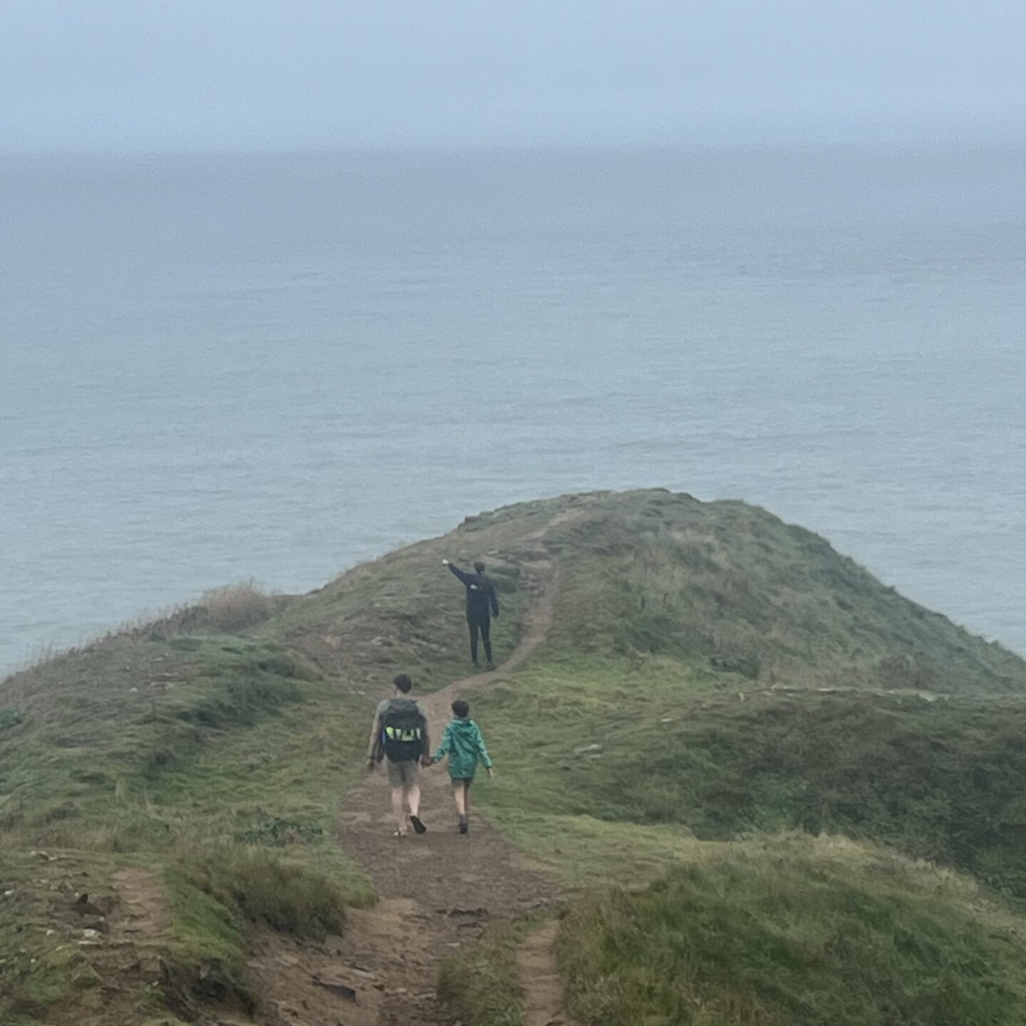
- Follow this mostly level, graded track along to the end of the headland. Look out across the bays to Hartland in the far distance.
- Just before you come to the gate you can take a right hand footpath up to a wildlife pond. It was full of algae so we didn’t really spot much! Look out for Henry Williamson (1895-1977) was an English naturalist, farmer and prolific author known for his natural and social history novels. He won the Hawthornden Prize for literature in 1928 for his book, Tarka the Otter.
- Back to the footpath and 30m past the gate you’ll come to a fingerpost. Continue straight on the path signposted Baggy Point ½ mile.
- There’s a detour off this path that leads down to the rock pools. This was once the Hyde’s Harbour where they created a natural slipway and a small sheltered harbour. If you do decide to take a look please be careful as the path and the rocks can be slippery.
- Once at the headland take time to stop and enjoy the view, it’s impressive. Look out for Lundy in the distance! From the headland follow the footpath at a sharp right up the hill and through the gate.
- Follow the graded path straight ahead of you to the fingerpost and walk across the field. Follow the gravelled footpath that’s signed National Trust car park 1 mile. Go through the gate and follow the stony track down the slope. To your right, there are great views again across the bay to Hartland Point.
- Follow the path as it turns to the right down the hillside and rejoin the path that you followed out to Baggy Point.
- Turn left and retrace your steps back to the car park, signed National Trust car park 1/2 mile End point: Baggy Point car park, grid ref: SS432397
Optional Route 4.5 miles in total.
8. At number 8 on the above walking route, instead of taking the path through the gate back down towards the path you came from. You, instead go through the gate and take the grassy path immediately to your left, It widens out into a grassy track that goes across a field at the top of the cliff, past an old coastguard wreck post. This was once used for training, and is the only one surviving in North Devon. Please note your close proximity to the cliffedge and ensure you keep your dogs on a lead as you walk up the field.
9. Walking across this field look to your right at Hoe Wall. Hoe Wall is a traditional North Devon dry stone wall that straddles the spine of the promontory. In the past it marked the limit of cultivation. The different types of lichen and moss you see are a testament to the wonderful air quality in this part of the country.
10. Go over the stile and stay on the grassy track along the top of the cliff that gives this walk its name; Bloodhills Cliff. Maybe Bloodhills Cliff carries this somewhat gory name, as it’s possibly connected to the smuggling that was once rife along the coast, and the fights and bloodshed often attached to this illicit trade?
11. Cross over the next stile, turning around as you do to have a look at the view back down Baggy Point; you’ll see how different the landscape is on this side of the headland. Carrying on, the path makes its way through gorse bushes, which in late summer and autumn will be ablaze with bright yellow flowers. Our kids often check the seasonal tastiness of this edible flower!
12. At the fingerpost, carry on walking ahead of you, signed Woolacombe 3 miles. Go over the next stile and follow the path down between the dry stone wall and the gorse. At the next fingerpost, follow the coast path sign along the grassy track off to your right across the field – do not follow the path down into the private campsite. Walk over the field to the fingerpost by the hedgerow; the South West Coast Path goes to your left. In season, you can make a short detour here down to your left to the café located at the Putsborough Campsite. You can also access the beach here.
13. Turn right and follow the footpath, keeping the fence and hedgerow to your left. Where the fence turns to your left, follow the yellow footpath arrow diagonally across the field to the far left corner. There’s a sweeping view across Croyde and the surf beach, and to your right there’s a standing stone. The standing stone found at this step on the trail is one of three found on this part of the north coast that are thought to be of prehistoric origin, and likely of ritual significance. Today they serve as ideal rubbing stones for livestock.
14. Go through the gate in the dry stone wall and follow the narrow path between the hedgerows. You can see the remains of the stepping stones set into the dry stone wall that, until recently, you had to climb over. When you reach the end of the path take the route signed straight ahead of you along the farm track.
15. Follow the track to the end, then follow the fingerpost down to your left, signed Public Footpath. Continue straight ahead of you, over the stile and down the hill, along the narrow path sandwiched between the hedgerows. These hedge banks are filled with wildflowers in the spring and summer. Follow the yellow arrow down the farm track, past the farm on your right and down to the public road.
16. Turn right, cross the road and follow the path back to the car park.
We hope that you enjoy your walking route big or small and that you get to enjoy the exhilarating seaview and air at this wonderful unspoilt part of North Devon. We would love to hear from you if you attempt walking Baggy point with kids and have any feedback.

You can find more information on the National Trust website.




Leave a Reply